

Lot n° 30
Estimation :
80 - 100
EUR
Result without fees
Result
: 120EUR
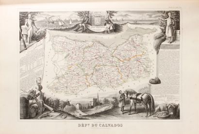
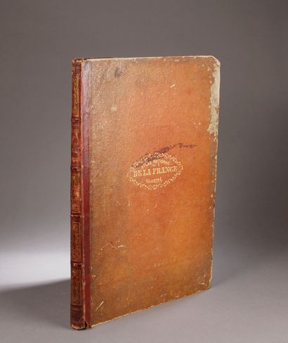
NATIONAL ATLAS by LEVASSEUR illustrated of... - Lot 30 - Brissonneau
NATIONAL ATLAS by LEVASSEUR illustrated of the 86 departments and possessions of France. Divided by arrondissements, cantons and communes. With the layout (in color) of all roads, railroads and canals, cartouches.
Paris, A. Combette éditeur, 1852; in-folio (54x38 cm), publisher's half red chagrin binding (rubbed, covers abraded, corners dull). Title, one statistical table, 93 maps with colonies and planisphere, six maps of continents and one double-page map of France.
My orders
Sale information
Sales conditions
Return to catalogue